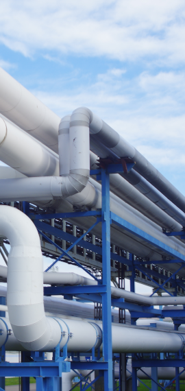
Pipeline Mapping & Visualization - Provides accurate, real-time maps of gas pipelines, valves, stations, and facilities. Helps identify pipeline routes, depths, and materials used.
Asset Management - Tracks the condition, age, and maintenance history of pipelines.Reduces downtime by predicting failures and scheduling repairs.
Leak Detection & Safety Monitoring - Integrates with sensors and IoT devices to detect leaks, pressure drops, or damages.Helps in emergency response planning by showing affected areas.
- Network Planning
- Pipeline Survey and Mapping
- Asset tracking and Mapping
- Documentation
- Risk Assessment. Leak and Outages Management
- Compliance Monitoring Interfaces
- Reports